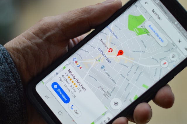
Alexey Anatskiy, Business Development for Google Maps Enterprise in EMEA
Google is one of the most recognizable companies around the world and helps billions of people to navigate cities. Now the company is turning to the logistics industry with its Google Maps Platform which provides real-time data and optimization for last mile deliveries. We spoke to Alexey Anatskiy, Business Development for Google Maps Enterprise in EMEA. You can watch the full video interview now.
How can the logistics industry benefit from Google Maps?
There are a number of services that can be used for logistics: addresses, traffic information, routing, navigation and more. Recently, we have started to provide all of these together in a last mile fleet solution package that includes all steps generally needed by a logistics company.
We can capture the address and make sure that the company delivers the package to the right place and confirm it. There is also a component to optimise the routing offline and make sure that your solution for the delivery process is optimal. By using Google the driver can navigate the real-life environment and take into account the traffic, cancelled deliveries and other events that might happen.
Finally, we can connect to the app for the consumer and they can see where the package is right now. Different pieces of what we offer can be implemented, depending on what the business needs.
What is the difference to what we all know as Google Maps? Why not just use it?
Google Maps Platform is the business solution of Google Maps. You can think of the Google Maps Platform as an integrated business solution. What you can do in Google Maps you can use the Google Maps Platform for. Businesses have access to all functionalities in one place.
What are the benefits for consumers, awaiting deliveries?
This really depends on how businesses integrate the platform. We can provide the API to allow tracking and visibility. This capability will be a part of the logistics’ company tracking app.
Why is Google getting involved in the last mile and the logistics industry?
Ultimately, we want to help people. The whole idea behind Google Maps 15 years ago was to make sure that we have access to the real-world information in a digital form. In the last few years, specifically during the lockdowns, we have seen a lot of people trying to use this information to improve their business and help people. We think it is an interesting topic and we want to make sure our data is used in the best way.