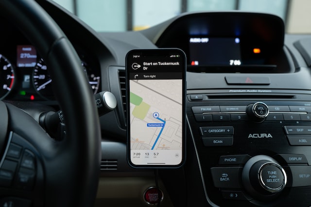
Knowing where you are going is the best way to succeed. Routing is a key element of logistics operations and like everything else in the industry, it is also quickly evolving. Real-time data is an expectation anymore and the next step is freeflow: the ability to plan and change in real-time. We spoke to Christoph Herzig, Head of Product Management, Supply Chain Solutions, HERE Technologies about what it actually means.
What is the biggest challenge for route optimisation technologies at the moment?
The newest systems, which have been available for a while, can now provide real-time data. In the past there was a split between static map content, like roads, and then you had the traffic, which is constantly moving. But map data is becoming more dynamic because we have to deal with road blockages, construction sites and so on.
Street networks are becoming more and more dynamic. During the lockdown cities have increased bike lanes. This is a problem for logistics companies that still need to deliver to all of us.
If we look at quick deliveries, for them the most important thing is to sign up the consumer and find their exact location. Geocoding becomes super critical for retention. First, it helps with conversion and then retention. The software for such services has to take into account a three point system. The rider, the restaurant and the address of the consumer. This also needs to be tied up to the restaurant’s system.
For last mile e-commerce, you can’t afford inefficiencies. Freeflow optimisation should happen during the day. Drivers also need professional navigation experience. In this way, you make sure the driver sticks with the company’s app and does not use something that can cause data privacy problems.
So what does the future hold for route optimisation?
The next stage will be to really understand the stop time at each stop. This is where companies lose the most time. By utilising routing context, you can predict how long each stop can take. What this means is that companies are able to understand exact locations. For example, you can take into account where the vehicle can park, how far away the address is from the parking spot, etc. You can also show how many floors a building has and whether it has a lift or just stairs.
After that, apps can advise the driver where to actually stop for each location to save time and hassle. A new driver, who has never been in this area of town, can be as efficient as an experienced one.
How do you get the data?
The data can be collected from the driver and the consumer. But collecting it is just one step. Putting it in something that is useful and user friendly is another area.

So should drivers record each step of their journey to every single stop they go?
This is one way to do it. At the same time, apps can be used to provide that information. By tracking the flow, you can see patterns. The app can then ask questions about the location which drivers can confirm or deny. You do not need to put a burden on the driver but analyse the data first and finally validate it.
A customer of ours has already created an engaging experience for their delivery agents. They have gamefy it. You need to do this by reprogramming your network.
How much data do you actually need? Just once won’t be enough.
Yes, exactly. But vehicles send a lot of data back to different platforms already. We can understand if there is a problem with a certain road and detect traffic jams and construction works. The data is anonymous and we gather it from thousands of sources.
Validating it is the next step. We can send someone to check or just ask the authorities about a location.
Professional drivers however report problems because they all benefit from knowing what is ahead of them. So in this case, you can do that with less data. The source is trusted. It is all based on consent. According to EU law all last mile solutions should allow the driver to switch off tracking. ✷
